




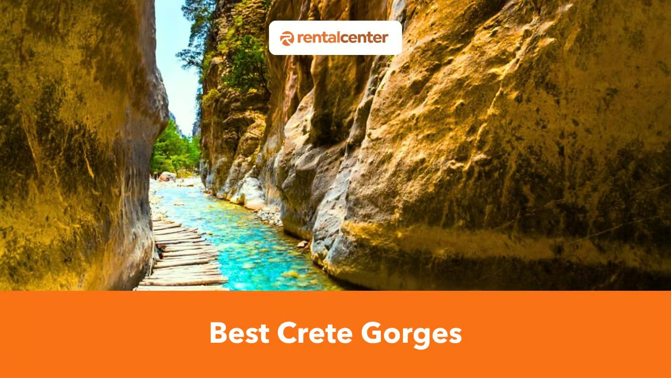
A rental car solves most of that problem, though not all of it. Driving yourself to Xyloskalo on the Omalos plateau, to Imbros village an hour south of Chania, or to the Ha Gorge trailhead near Ierapetra turns a transport puzzle into a straightforward morning drive, something the island’s limited and seasonal bus routes rarely match. What a car cannot do is carry you back uphill or across open water, so the ranking below gives the honest getting-there-and-back reality for each gorge, not just the scenery.
Find below a list of the the top 10 of the 24 best gorge walks in Crete.
- Samaria Gorge. Crete’s longest and most famous gorge descends through pine forest and the narrow Iron Gates to Agia Roumeli. Returning requires a ferry and bus.
- Imbros Gorge. This gentler, family-friendly alternative to Samaria features towering walls and passages under two metres wide. Taxis return hikers from Komitades to the entrance.
- Aradena Gorge. A demanding route with steep scree and boulder scrambling descends from abandoned Aradena village. It finishes at beautiful Marmara Beach, with water taxis available.
- Agia Irini Gorge. This peaceful, herb-scented gorge follows the Ageriniotis River beneath cypress, pine and maple trees. Its mostly downhill trail forms part of the E4 path.
- Zakros Gorge. Also called the Gorge of the Dead, this accessible E4 route passes ancient Minoan burial caves. It leads from Ano Zakros to Kato Zakros Beach.
- Richtis Gorge. A streamside trail passes lush vegetation and a restored watermill before reaching a 20-metre waterfall. The full route continues to secluded Richtis Beach.
- Kourtaliotiko Gorge. Following the Kourtaliotis River, this dramatic gorge features pools, waterfalls, caves and huge boulders. The route eventually reaches Preveli’s celebrated palm forest and beach.
- Kritsa Gorge. Beginning near Kritsa, this well-marked gorge narrows below two metres and includes manageable rock climbing. A shorter two-kilometre option suits families with older children.
- Topolia Gorge. Known as the Gorge of Caves, Topolia has vertical walls reaching 300 metres and numerous rocky hollows. Local legends associate it with fairies and Vritomartis.
- Ha Gorge. One of Crete’s most technical canyons, Ha features extremely narrow passages, huge cliffs and waterfalls. Its full 33-rappel descent requires proper equipment and a professional guide.
Find an interactive map of these 24 gorges below, followed by the full ranked list.
The list covers 24 of Crete’s gorge walks, from Samaria’s six-hour descent to short, family-friendly routes you can finish before lunch. Each entry leads with its distance, difficulty, and typical hiking time, then explains how to reach the trailhead and what a car adds, or doesn’t, to the trip.
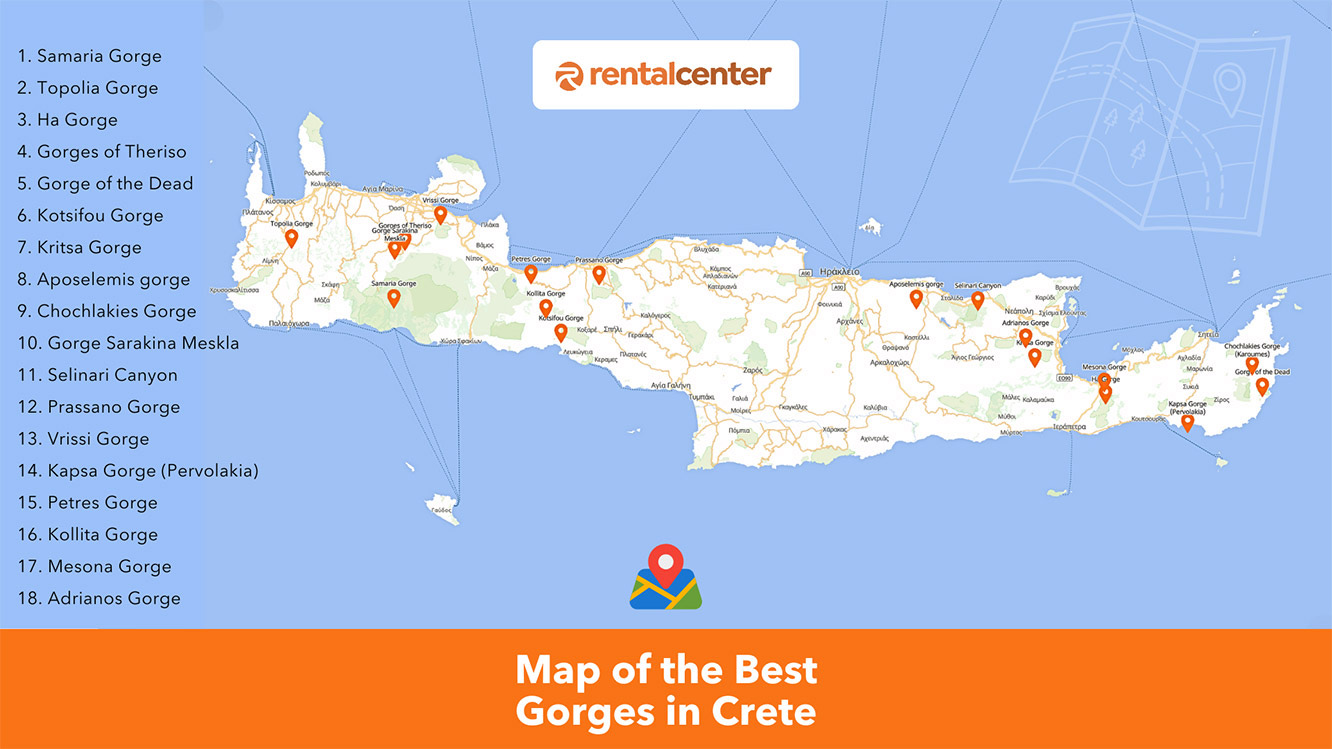
1. Samaria Gorge National Park
Quick stats: 16 km (9.94 miles) one-way, strenuous, 6-7 hours, White Mountains (Chania).
Samaria Gorge is Crete’s longest and most famous gorge walk, and the only one on this list where a car alone will not get you back to where you started. The trail begins at Xyloskalo on the Omalos plateau, around 1,230 meters above sea level, and descends almost entirely downhill through pine forest to the coastal village of Agia Roumeli. Samaria narrows to roughly 3 to 4 meters at its most famous point, the “Iron Gates,” where the canyon walls close in overhead. Samaria gorge has been a National Park since 1962 and shelters the Cretan wild goat, the kri-kri, along with rare plants such as the wild burning bush. It is open from 1 May to 31 October, weather permitting, daily from 6am to 4pm, and the entrance fee is €5 ($5.74, £4.24), with children under 15 admitted free.
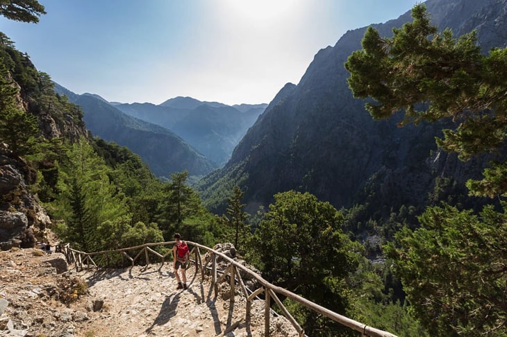
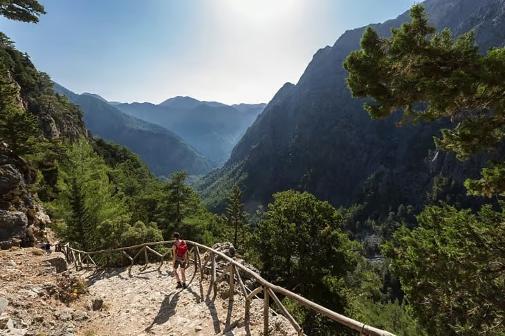
Agia Roumeli has no road connection, so the return trip runs by ferry to Sougia, Chora Sfakion, or Paleochora, followed by a bus back to Omalos or Chania. Budget roughly €5 ($5.74, £4.24) for parking, €5 ($5.74, £4.24) for the gorge entrance, €13 ($14.93, £11.02) for the ferry, and around €5 ($5.74, £4.24) for the bus, on top of the rental car that gets you to the trailhead in the first place. Plan the boat and bus legs before you set out. They are part of the hike, not an afterthought.
2. Imbros Gorge
Quick stats: 7 km (4.35 miles) one-way, easy to moderate, about 3 hours, near Chora Sfakion (Chania).
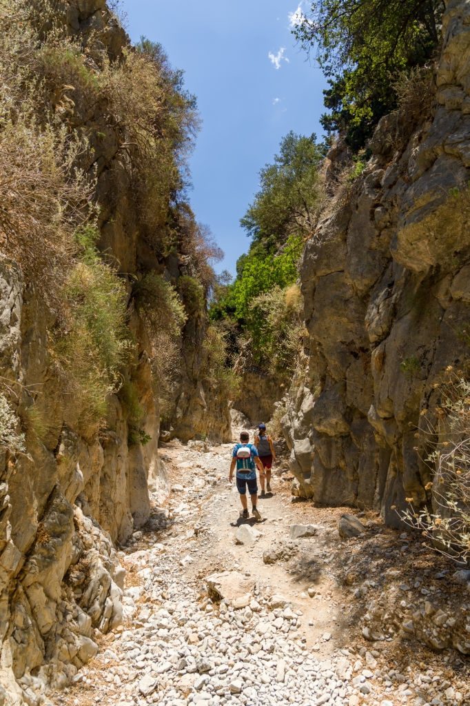
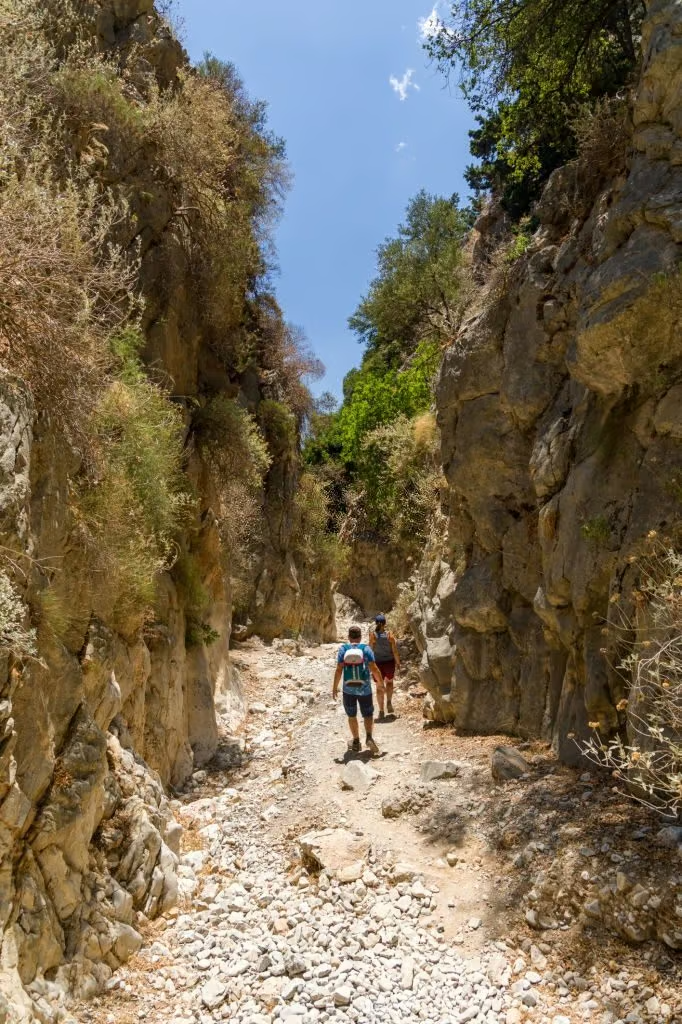
Imbros Gorge is the easiest well-known alternative to Samaria, running downhill nearly the whole way from Imbros village to Komitades. Families favor Imbros for its gentler gradient and shorter distance, and the gorge narrows to under 2 meters at its tightest point while the walls rise more than 300 meters overhead. A small entrance fee, around €2 ($2.30, £1.70) to €3 ($3.44, £2.54), applies during the summer season. Unlike Samaria, both ends of Imbros sit on the regular road network, and taxis wait at Komitades to drive hikers back up to Imbros or to a parked car. Imbros stays open through more of the year than Samaria, which closes completely over winter.
3. Aradena Gorge
Quick stats: 5 to 6 km (3.73 miles) point-to-point, difficult, about 3 hours, south Chania.
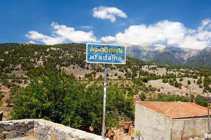
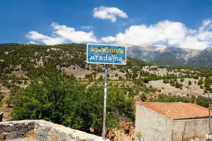
Aradena Gorge is the technical choice for hikers who have already done Samaria and Imbros and want a harder route with a swim at the finish. The trail starts at the abandoned village of Aradena, crossed by a high metal Bailey bridge over the gorge, then alternates between flat stretches and steep, loose-scree descents that require scrambling between boulders. It ends at Marmara Beach, where the water turns a distinct teal blue against the surrounding cliffs. Most hikers reach the start by taxi from Chora Sfakion, then return from Marmara Beach by water taxi rather than retracing the climb back up the gorge.
4. Agia Irini Gorge
Quick stats: 7.5 km (4.66 miles) one-way, easy to moderate, about 3 hours, Selino, west Chania.
Agia Irini Gorge is the quiet, herb-scented alternative to Samaria, following the Ageriniotis river through a lush valley without the crowds. The trail runs beneath limestone walls under cypress, pine, and maple trees, and forms part of the European E4 long-distance path. It runs downhill for nearly its full length and ends about 2 km (1.24 miles) from Sougia, a small coastal town that, unlike Agia Roumeli, sits on the road network at both ends. Wild kri-kri goats and domestic herds both graze the gorge floor, and the surrounding area holds two 14th and 15th-century churches worth a short stop.
5. Zakros Gorge (Gorge of the Dead)
Quick stats: about 11 km (6.84 miles) out-and-back, medium difficulty, 2 hours one-way, Lasithi (east Crete).
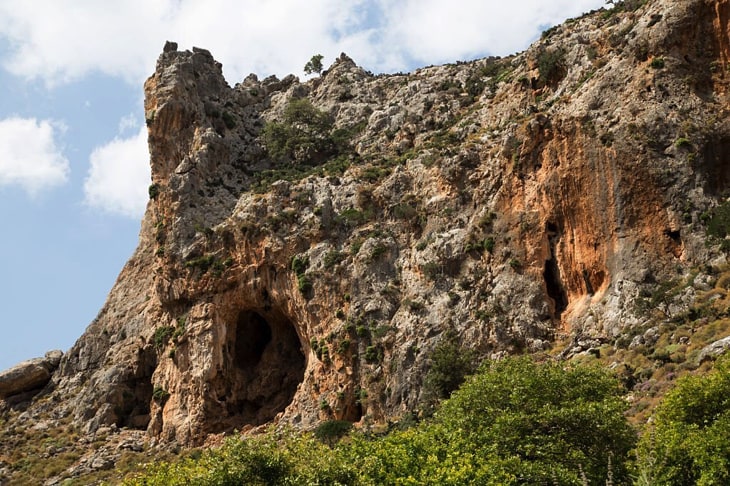
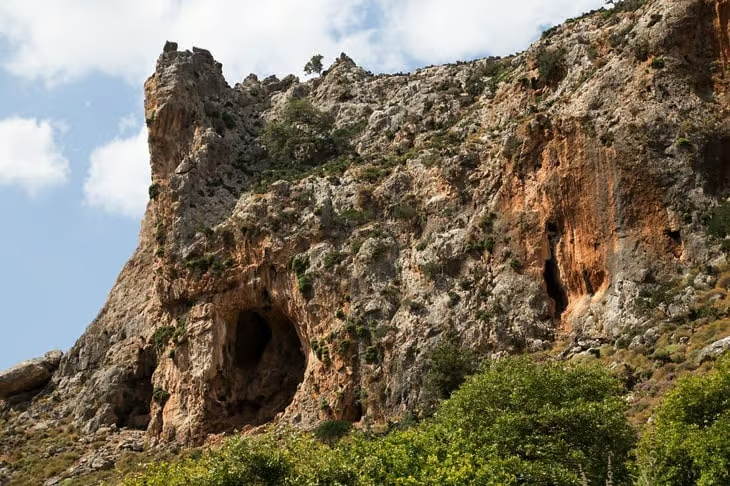
Zakros Gorge earns its name, Gorge of the Dead, from the Minoan burial caves cut into its walls, not from any danger on the trail itself. The route starts a short distance from Ano Zakros and ends at Kato Zakros beach, forming part of the E4 European path’s easternmost stretch through Crete. High walls and large caves line the route, and the beauty of the landscape and its easy access make it popular with visitors despite the remote, eastern location. The gorge is accessible by car; leave your vehicle at the entrance and walk down, or use one of the local buses and taxis. Spring and summer, when the riverbed is dry, are the easiest times to walk it.
6. Richtis Gorge
Quick stats: about 5 km (3.11 miles), moderate, 1 hour to the waterfall or 3-4 hours to the beach, Exo Mouliana, Lasithi (east Crete).
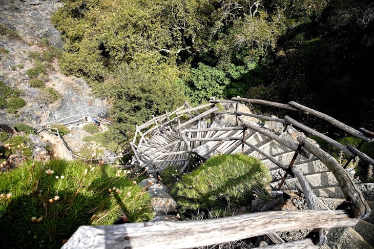
Richtis Gorge ends at a waterfall over 20 meters tall that drops onto Richtis Beach, one of the few Crete gorges where the reward is visible from the sand. The trail starts northeast of Exo Mouliana, between Agios Nikolaos and Sitia, and follows the bed of the Lachana stream down to the coast, passing a restored watermill along the way. Hikers short on time can reach the waterfall itself in about an hour on the short route, while the full walk to the beach takes 3 to 4 hours. We have covered the Richtis Gorge waterfall hike and beach access in a separate, dedicated guide.
7. Kourtaliotiko Gorge
Quick stats: trail starts about 22 km (13.67 miles) south of Rethymno, moderate, a few hours, Rethymno.
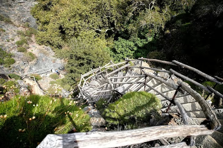
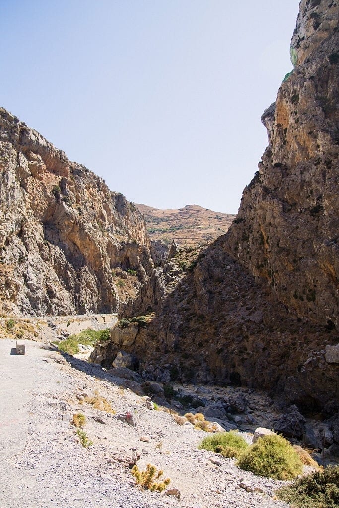
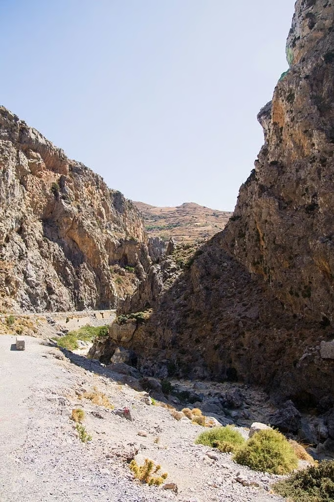
Kourtaliotiko Gorge ends at Preveli, the palm-lined beach many visitors reach only by boat without realizing a gorge walk leads there too. The route starts near the village of Koxare and follows the Kourtaliotis river south, with a paved road running alongside part of it and parking near the chapel of Agios Nikolaos partway through. The river splits into five streams that reunite into small pools and a waterfall before reaching the palm forest at Preveli beach. The gorge narrows in several stretches, with huge boulders and small caves worked into the rock walls.
8. Kritsa Gorge
Quick stats: 4 km (2.49 miles), moderate, about 2 hours, near Agios Nikolaos (Lasithi).
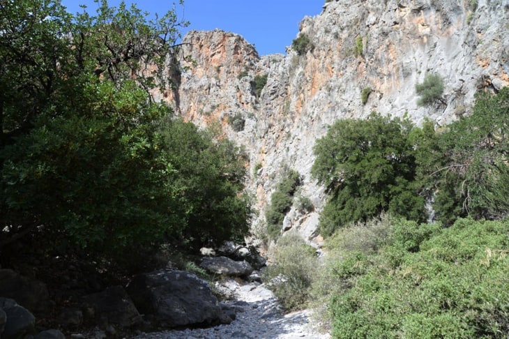
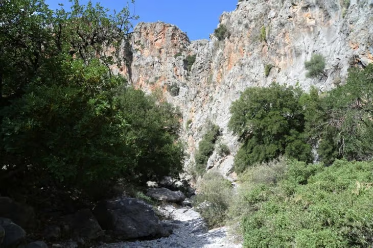
Kritsa Gorge runs from the village of Kritsa to Tapes, narrowing to under 2 meters at the Havgas entrance, where the mountain splits in two to form the passage. It sits 9.5 km (5.90 miles) southwest of Agios Nikolaos, and hikers must climb over some large rocks along the route, though the trail is well marked and manageable for families with older children. A shorter option follows the gorge for about 2 km (1.24 miles) before turning uphill, and restaurants near the trailhead serve Greek salads and moussaka. Most of the trail stays walkable all year, except after heavy rain, when standing water blocks the narrower passages of Kritsa Gorge.
9. Topolia Gorge
Quick stats: 3 hours, moderately challenging, inland Kissamos (west Chania).
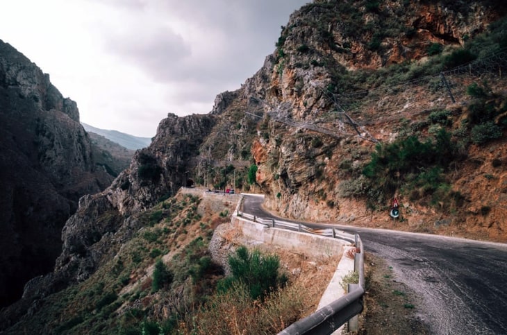
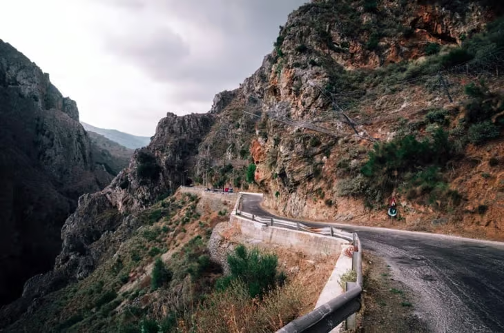
Topolia Gorge runs along the road to Elafonisi via Elos, with vertical walls up to 300 meters high and a stream bed that varies between 5 and 50 meters wide. Locals call it the “Gorge of Caves” for the many shallow caves and hollows along its walls, and according to local tradition, fairies and the Minoan goddess Vritomartis once sheltered there. The gorge has two access points: a northern entrance near the Omalos plateau, reachable by car, and a southern entrance near Agia Roumeli, reachable only by boat. A daily bus runs from Kissamos to Topolia Gorge. The ideal time to visit is spring through early summer, from April to June, before the midday heat and glare set in.
10. Ha Gorge
Quick stats: 1.5 km (0.93 miles), very difficult and technical, 4-5 hours, near Ierapetra (Lasithi).
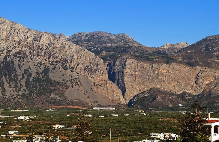
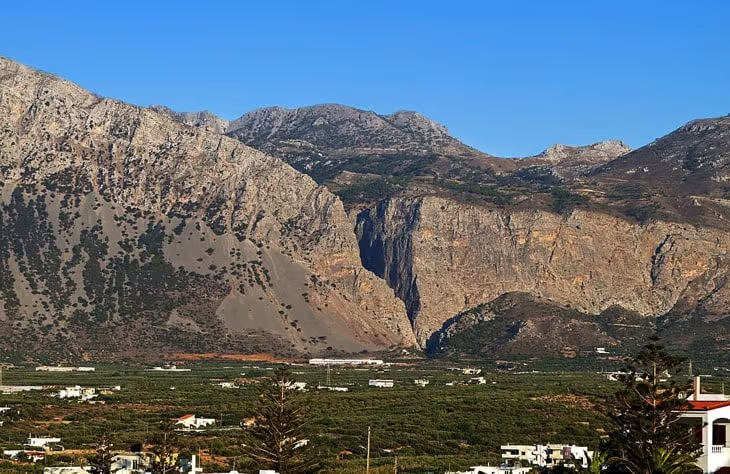
Ha Gorge, on the western slope of the Thrypti mountain range near Vasiliki, is one of Crete’s most technical canyons and requires canyoneering equipment, not casual hiking gear. It sits 15 km (9.32 miles) north of Ierapetra; drivers can head toward Agios Nikolaos, detour through Episkopi, and follow a 10 km (6.21 miles) road to Thripti, where the church of Saint Anne marks the entrance. The gorge features waterfalls up to 35 meters high and narrows to just 30 centimeters between cliffs that rise 400 meters, including the 215-meter Mastoras waterfall, one of the tallest free falls in Greece. A full traverse involves 33 rappels and takes 4 to 5 hours for skilled climbers with proper equipment, descending a total of about 700 meters, from roughly 800 meters near Saint Anne church to about 100 meters near Monastiraki village. The ideal time to visit is January to May, when the waterfalls run but before winter flooding makes the canyon dangerous. A professional guide is required.
Hikers who want to see Ha Gorge without the technical descent can walk in from the Monastiraki exit instead, reaching a pond at the base of the final waterfall and passing ancient grain mills along the way.
11. Gorges of Theriso
Quick stats: 6 km (3.73 miles), easy, about 3 hours including the village stop, near Chania.
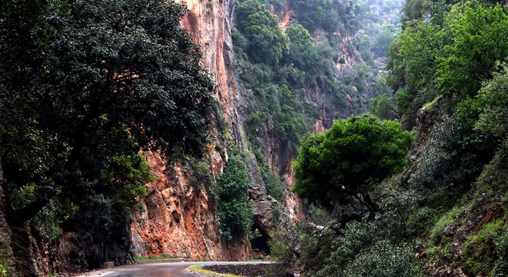
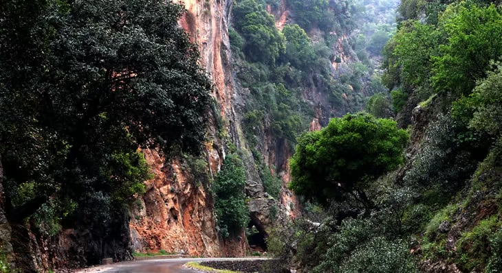
The Gorges of Theriso combine an easy hike with a stop in Theriso, a small village central to Crete’s independence movement. Visitors can drive through the main gorge, about 20 minutes by car, before continuing on foot into the high mountains on a roughly 3-hour walk. The village’s tavernas serve Cretan lamb and other local produce grown in the surrounding countryside, and the route is open from March through November. Dramatic mountain scenery and a relaxed, quiet pace make Theriso a favorite for a half-day trip that combines driving, walking, and a meal.
12. Kotsifou Gorge
Quick stats: 3 hours by road, easy, southern Rethymno.
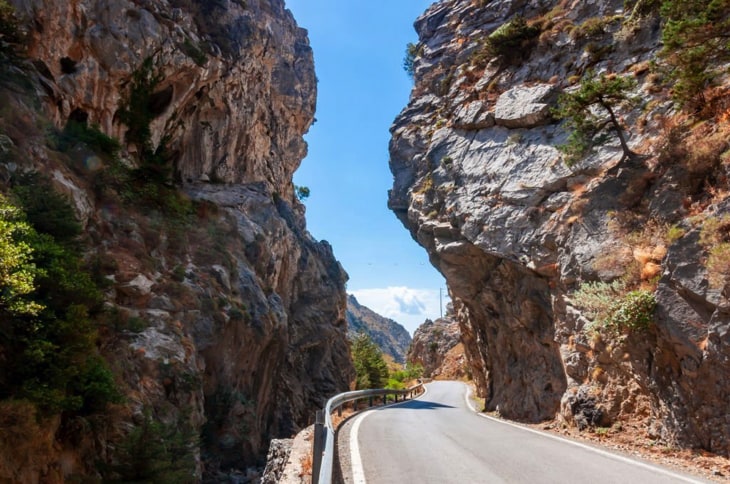
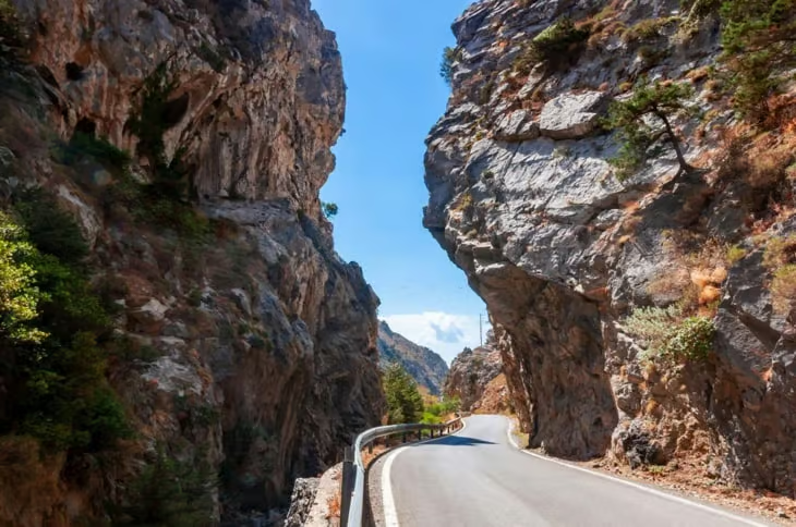
Kotsifou Gorge carries a road through a narrow slit in the mountains, west of Mount Kouroupa and north of Plakias, on the route between Sellia and Angouseliana. A rented car is the practical way to see it, since the road winds through the gorge itself rather than running alongside it. Cretan endemic plants grow in high numbers along the route, wildflowers peak from mid-May to June and again from September to October, and a small Orthodox chapel sits on a hilltop overlooking the pass.
13. Rouvas Gorge (Gorge of Agios Nikolaos)
Quick stats: 4 km (2.49 miles), easy to moderate, a few hours, near Zaros (Heraklion).
Rouvas Gorge, also called the Gorge of Agios Nikolaos, starts beside a 14th-century monastery and climbs through one of Crete’s few remaining native forests. The trailhead sits about 1.5 km (0.93 miles) from Lake Zaros, past the Monastery of Agios Nikolaos, and the path can be walked uphill from Zaros or downhill from the top of the gorge. A wildfire burned about a third of the gorge in 1994, but the upper sections keep their forest cover, and resting spots with fountains line the route. The stream still flows through the winter and into early spring.
14. Aposelemis Gorge
Quick stats: 2 to 4 hours, medium difficulty, northern Heraklion.
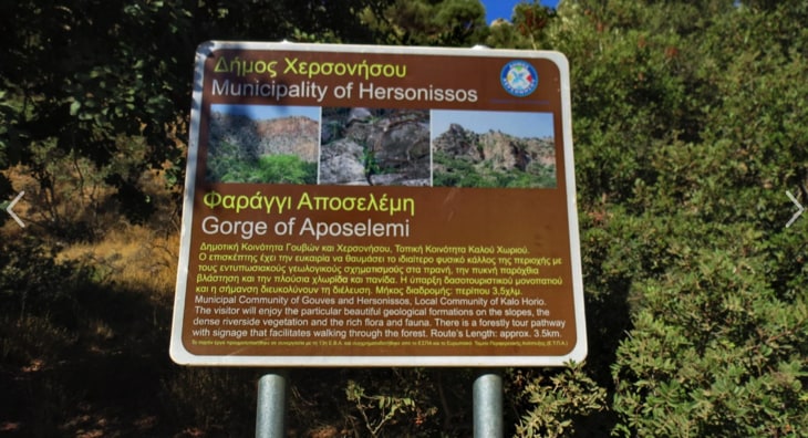
Aposelemis Gorge is the longest gorge in northern Heraklion, cut by the Aposelemis river, which only carries water after heavy rain. The local municipality built a path along the riverbed that makes the walk easy to follow, and the north exit near the village of Agriana is the simplest access point. Taxis serve the area, and the climb to the top of the gorge rewards hikers with views across much of Crete. Summer is the recommended season to walk it.
15. Chochlakies Gorge
Quick stats: 3.5 km (2.17 miles), moderate, about 90 minutes, near Zakros (Lasithi).
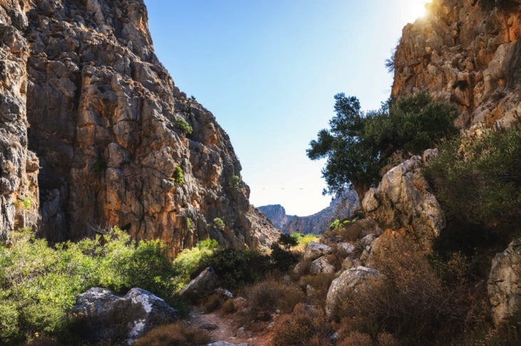
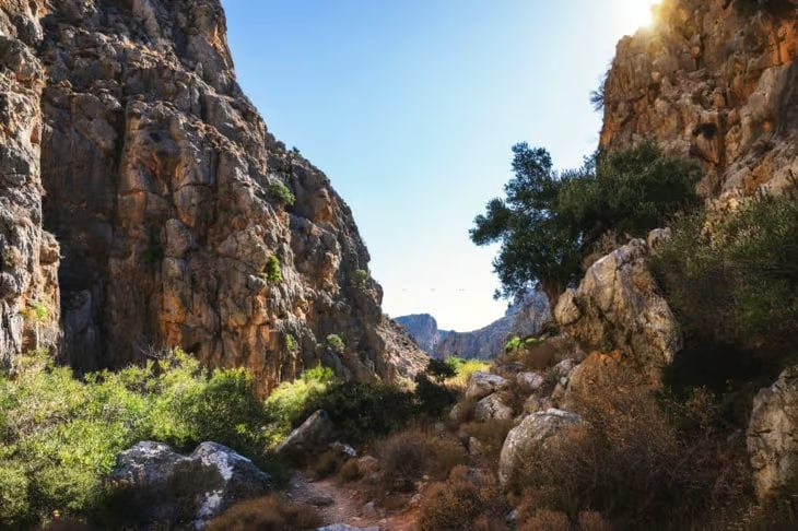
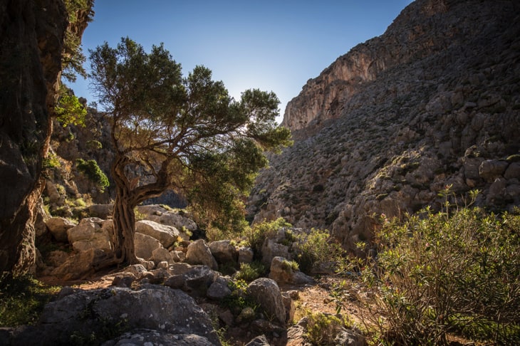
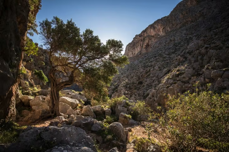
Chochlakies Gorge, also known as Karoumes Gorge, sits in the isolated eastern tip of Crete near Zakros. Visitors reach it either by driving to Chochlakies village and continuing on a narrow road to Agia Marina church, where there is parking, or by walking in from Agathias village near Palekastro. Public transport barely reaches this area, so a rental car is the practical option. The European footpath E4 passes through the gorge, marked with blue signs, leading past a restored watermill and high rocky walls before the valley opens into a wetland in winter and reaches Karoumes beach. Spring and autumn bring mild weather and lush vegetation, while winter can make the gorge impassable due to high water. The hike suits families, with children often spotting goats along the steep cliffs, and ends at Karoumes beach for a swim.
16. Sarakina Gorge (Meskla)
Quick stats: about 2.5 hours, moderate, near Meskla (Chania).
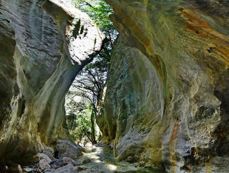
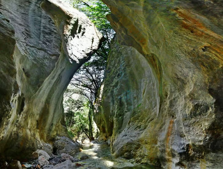
Sarakina Gorge, in the village of Meskla, is reached by driving past Agia toward Omalos and takes about 20 minutes to cross at its narrowest, though the full marked trail runs closer to 2.5 hours. Large cypress and plane trees fill the ravine, and local tradition holds that Saracen raiders once hid there, giving the gorge its name. Local authorities built trail paths starting from Meskla, and the landscape changes noticeably after the first 10-minute climb over limestone boulders. The ideal time to walk it is May through November, and Gorge Sarakina Meskla makes a good half-day trip from Chania combined with a stop in Omalos.
17. Selinari Canyon
Quick stats: 1.5 km (0.93 miles) main trail, 30-45 minutes, or 5 to 9 km (5.59 miles) on longer trails (2-5 hours), eastern Heraklion.
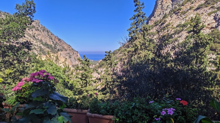
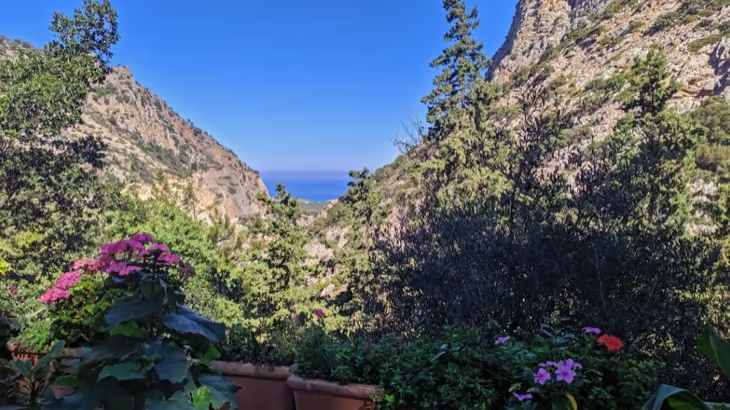
Selinari Canyon, also called Sellinari Gorge, runs along the National Road between Heraklion and Agios Nikolaos, 45 km (27.96 miles) east of Heraklion and 21 km (13.05 miles) west of Agios Nikolaos, which makes it one of the easiest gorges on this list to reach by car. The historic Monastery of Saint George sits inside the canyon, and local superstition holds that travelers who pass through without stopping there risk bad luck, a belief dating back to when medieval travelers rested themselves and their animals at the monastery. Visitors can drive straight through on the National Road, walk the main 1.5 km (0.93 miles) trail in 30 to 45 minutes, or take the longer Canyon Trail or Ridge Trek, covering 5 to 9 km (5.59 miles) over 2 to 5 hours. Spring and autumn bring the mildest conditions, though the canyon stays accessible year-round. Nearby, Avlaki Beach sits 2.9 km (1.80 miles) away for swimming and snorkeling, and Malia’s beaches and nightlife are 8.9 km (5.53 miles) further on.
18. Prassano Gorge
Quick stats: 3 km (1.86 miles), moderate to difficult, about 3 hours, central Crete (Rethymno).
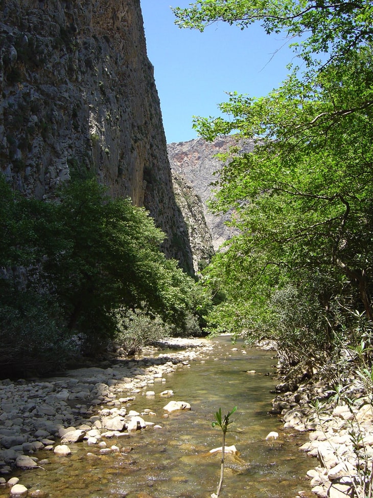
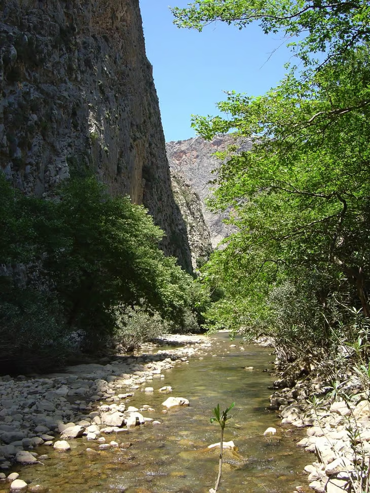
Prassano Gorge, 10 km (6.21 miles) southeast of Rethymno, starts south of Prasses village and passes through the rocky Gargana hills before ending in Platania. It is closed outside mid-June to mid-October because of water flow, and the hike itself covers large rocks and narrow, sometimes unmarked passages that call for sturdy hiking boots with ankle support. The gorge is a vital habitat for buzzards and Bonelli’s eagles, with tall plane trees lining a stream that also serves as an overflow channel for the nearby dam; hikers should still carry their own drinking water. Nearby Prasses village, a medieval settlement with Venetian mansions and Turkish farmsteads, makes a good stop before or after the walk, along with Potami Valley and Arkadi Monastery.
19. Vrissi Gorge
Quick stats: 5-6 km (3.73 miles), moderate, 3-4 hours, White Mountains (Chania).
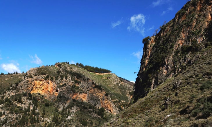
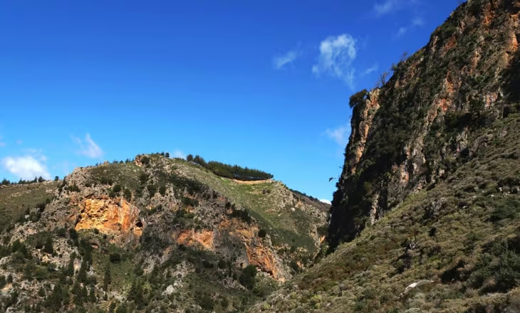
Vrissi Gorge lies between the villages of Zourva and Lakkoi in Crete’s White Mountains, reached by a 30-40 km (24.85 miles) drive from Chania along winding mountain roads. The route mixes rocky paths, river crossings, and boulder scrambling, marked with blue and red trail signs that can shift after heavy rain. Vrissi sees far fewer visitors than Samaria, making it a quieter option with high cliffs, clear water, and diverse plant life. The ideal season runs from May to October, when lower water levels make the river crossings easier; the trail can become dangerous or impassable after winter rains. Mobile coverage is limited in parts of the canyon, so hikers should tell someone their plans before setting out.
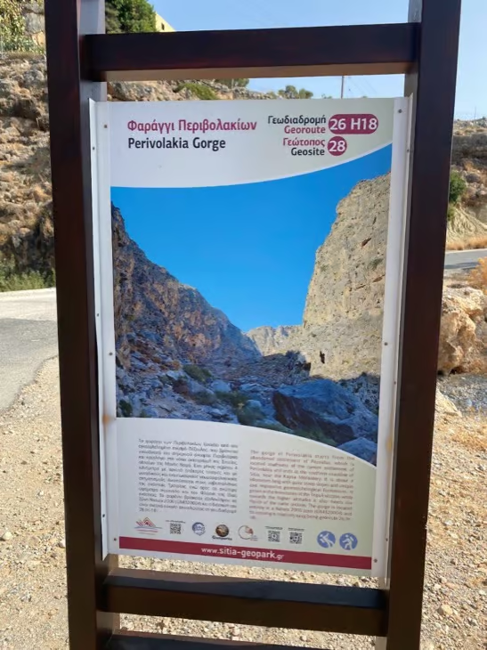
20. Kapsa Gorge (Pervolakia)
Quick stats: 3.5 to 4 km (2.49 miles), moderately challenging, 1.5 to 2 hours, southeastern Crete (Lasithi).
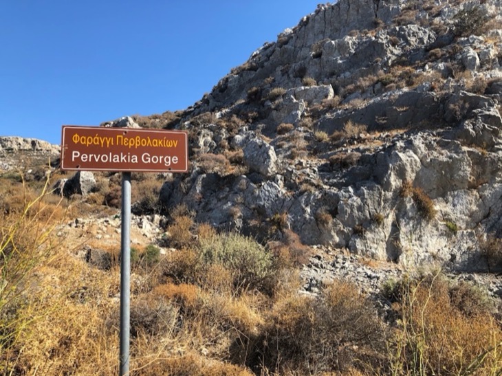
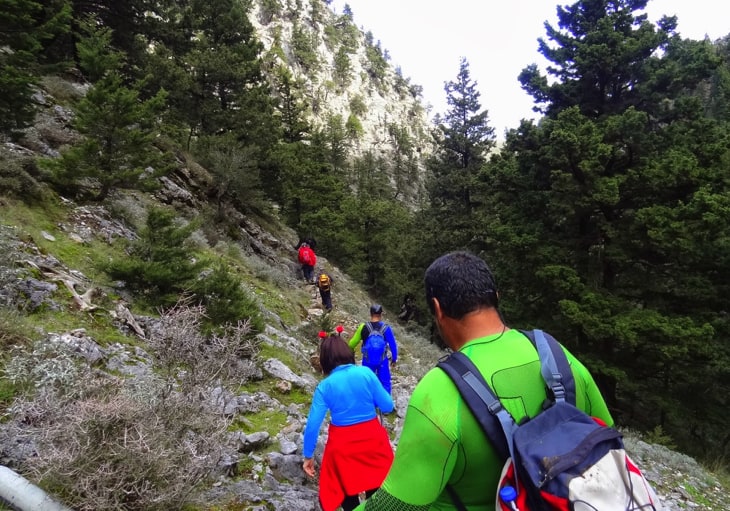
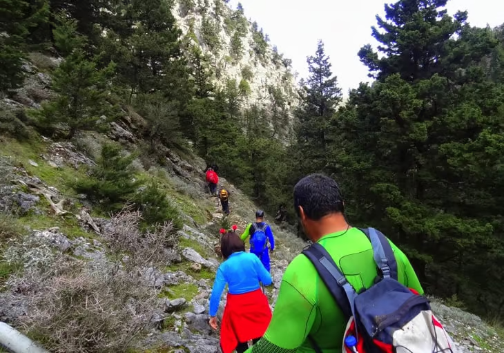
Kapsa Gorge, also called Pervolakia Gorge, runs between Pervolakia village at its northern entrance and Kapsa Monastery at its southern exit, overlooking the Libyan Sea. It sits 8-9 km (5.59 miles) east of Makrigialos and 33 km (20.51 miles) east of Ierapetra, and visitors reach it by driving from Ierapetra or by using the public bus between Goudouras and Ierapetra, which stops near the monastery. Descending from Pervolakia to the monastery takes about 1.5 hours; ascending the other way takes closer to 2 hours over dry, barren terrain that requires some scrambling. Kapsa Monastery, founded in the 15th century and rebuilt in the 19th after Ottoman pirates destroyed it in 1471, marks the trail’s southern end, and a pebble beach nearby is a good spot to cool off afterward. Spring and early autumn bring the mildest hiking conditions.
21. Petres Gorge
Quick stats: 1 km (0.62 miles) narrow section (16 km (9.94 miles) gorge overall), moderately challenging, 1-2 hours, west of Rethymno.
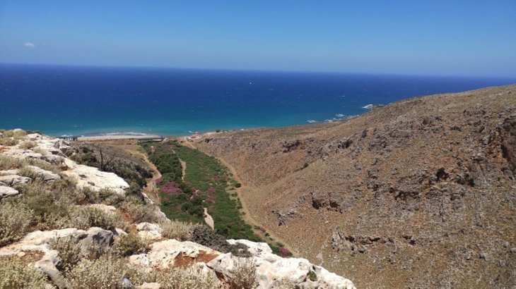
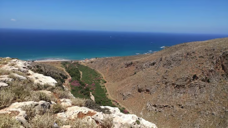
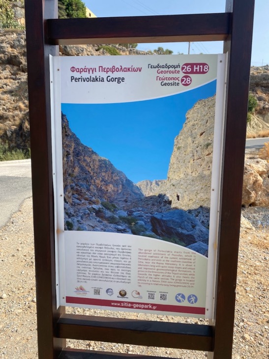
Petres Gorge lies 13 km (8.08 miles) west of Rethymno town and connects to Petres beach, with a paved road leading to the entrance for easy access by car or bus. The gorge itself stretches 16 km (9.94 miles), though the narrow, popular hiking section covers about 1 km (0.62 miles) and involves some rock scrambling suitable for most hikers, including families with children. The ideal time to visit runs from April to October, avoiding winter rain and summer heat, and seasonal ponds along the way offer a chance to cool off. Fences meant to contain goats cross parts of the gorge, so carrying wire cutters can help if a gate is locked. From the gorge, Petres Beach is 2.5 km (1.55 miles) away, and Lake Kournas, the Fortezza Castle in Rethymno, and Mili Gorge are all within reach of a rental car, ideally a 4×4 or SUV for the rougher back roads.
22. Kollita Gorge (Twin Ravines)
Quick stats: 10.6 km (6.59 miles), moderate, about 3 hours, near Argyroupolis (Rethymno).
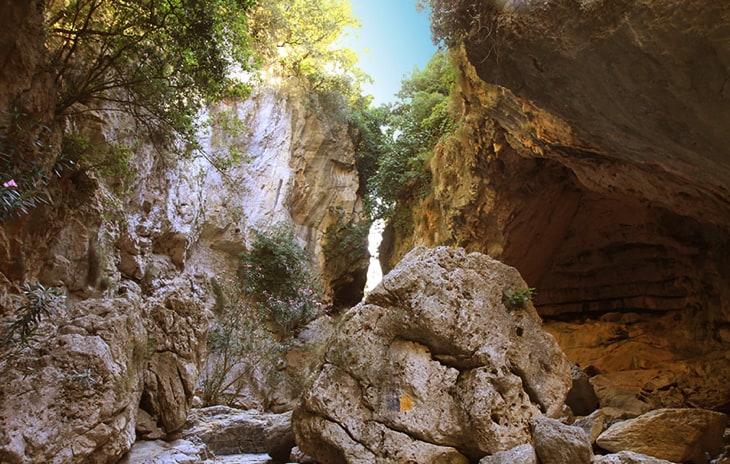
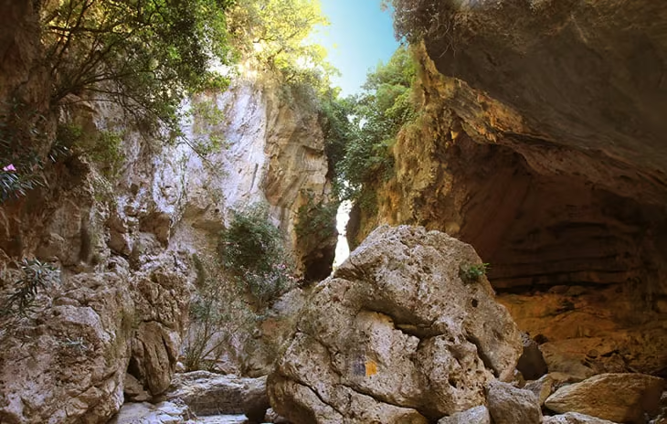
Kollita Gorge, also called the Twin Ravines, sits near Argyroupolis, 22 km (13.67 miles) southwest of Rethymno, and combines two parallel canyons: the eastern Moundros Gorge and the western Vilandredo Gorge. The trail starts and ends in Kato Poros, running along a riverbed lined with plane trees, fig trees, and holly, and passing the Kourtaliotis waterfall, where hikers can swim, and a spring dedicated to Hermes for refilling water bottles. The ideal time to visit is September to mid-October, when temperatures are mild. Nearby Argyroupolis is known for Venetian architecture and trout tavernas, and the Roman Baths of Lappa, once fed by the gorge’s water, sit close by.
23. Mesona Gorge
Quick stats: 4 km (2.49 miles), moderate, a few hours, near Kavoussi (Lasithi).
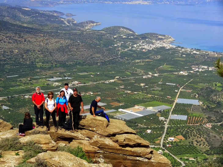
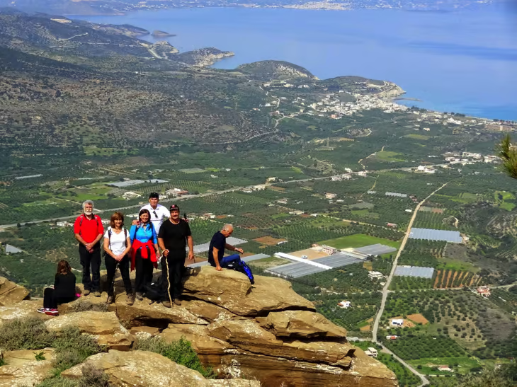
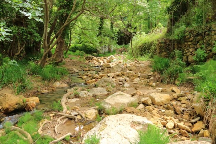
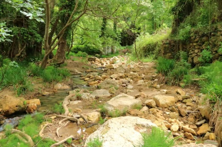
Mesona Gorge sits northeast of Kavoussi village, between Sitia and Agios Nikolaos, connecting the Thrypti plateau to Kavoussi on the northern slopes of Mount Thryptis. The terrain includes steep, rocky sections that call for hiking shoes with good traction, and spring and autumn bring the mildest conditions and the fewest other hikers. Visitors drive to Kavoussi and start near the church of Agia Kyriaki; the Mountaineering Club can arrange a guided hike for those who prefer one. Compared with more demanding gorges like Adrianos, Mesona offers a shorter, less strenuous walk while keeping the same rugged Cretan scenery.
24. Adrianos Gorge
Quick stats: 8 km (4.97 miles), difficult, 4-5 hours, near Agios Nikolaos (Lasithi).
Adrianos Gorge begins in the village of Adrianos and extends toward Agios Nikolaos, gaining 384 meters of elevation over a route strewn with large rocks that make navigation difficult for beginners. The Skoulikaris river runs through the gorge, starting near Potami and flowing on toward Agios Nikolaos, and hikers can gather edible wild greens along the way. Several caves branch off the main trail, so a flashlight is worth packing. Guided tours are available and include a professional guide, equipment, and often a picnic with local food; nearby sights include the Post-Minoan settlement of Fortezza, just 0.2 km (0.12 miles) away, and the Atziganospilios and Maridon caves, both 0.4 km (0.25 miles) from the trail.
Which gorges in Crete are best for kids and families?
Imbros Gorge and the Gorges of Theriso are the best choices for families with children. Imbros is downhill nearly the entire way, with taxis waiting at the far end, which makes it manageable even for reluctant young hikers. Theriso combines a short drive-through section with tavernas serving Cretan lamb at the finish, and kri-kri goats are a common sight along the road for kids to spot.
Which gorges in Crete are best for a tight budget?
Samaria Gorge and Imbros Gorge both charge low, fixed entrance fees rather than requiring a guided tour. Samaria costs €5 ($5.74, £4.24) per adult, with children under 15 admitted free, and Imbros charges around €2 ($2.30, £1.70) to €3 ($3.44, £2.54) during the summer season. Both gorges include real infrastructure for that price: marked trails, water and toilet stops, and staff monitoring hiker numbers.
What do you need to know about Crete as a tourist?
Listed below are the things visitors need to know about Crete as a tourist.
- Flying to Crete. There are three options for travelling to Crete since it has 3 airports. The main airport is Heraklion, with an average of 49,000 international and domestic flights per year. If one is staying on the east side, it is better to fly to Sitia Airport. If staying in the west, one can book a flight to Chania Airport.
- Getting a Ferry. Boat trips in Crete are more affordable than flying, although it takes longer. There are varieties of ferries travelling to Crete.
- A place to stay. Planning a holiday or a quick trip to Crete requires deep research to find the best place to stay. It is recommended to stay in Chania for first-time visitors. Chania is close to some beautiful beaches, shops, and restaurants.
- Best time to visit. Just like any tourist destination, the island of Crete can get very crowded and expensive during peak seasons. The best time to visit the island is from April to early November. When planning to visit the island, one can check the internet for a Crete travel guide.
- How to travel around Crete. The main public transportation in Crete is buses and taxis. There are also boats available when planning to go to nearby beaches. In order to maximise the trip to Crete, it is highly recommended to rent a car. Renting a car will allow one to move around the island faster.
- Food and Drinks. One way to enjoy a perfect holiday is by trying local delicacies and food. Food is a significant part of Greek culture. Cretan cuisine uses fresh ingredients and is grown locally. Crete is home to some local wines. A must-try important drink on the island of Crete is Raki. It is served free in every meal in Crete.
What are the factors to consider before renting a car in Crete?
Listed below are the factors to consider before renting a car in Crete.
- Insurance. Crete car rental includes insurance for Collision Damage waiver, and a debit or credit card with the driver’s name is required as a guarantee. Rental car insurance protects a passenger against the cost of damage that may happen when renting a car.
- Driver’s age. In Crete, the legal age needed for a car rental driver is 21 years old. A driving licence valid for at least 12 months is also required.
- Driver’s gender. As long as the driver is of the legal age of 21, driving regardless of gender is allowed in Crete.
- Car type. Opting for a smaller car is best when driving in Crete. The main reason is that Greek roads are narrow. There are noticeable smaller cars on the roads too.
- Documents needed for renting a car. Most people think that the only necessary document for renting a car is a driving licence. However, a debit or credit card with the driver’s name must be provided.
What should you check before renting a car in Crete?
Check five things before renting a car in Crete: insurance coverage, driver age, driver gender, vehicle size, and required documents. Crete car rental includes Collision Damage Waiver insurance as standard, and the renter needs a debit or credit card in the driver’s name as a guarantee. The minimum driver age is 21, with a driving licence held for at least 12 months, and gender places no restriction on who can rent, once that age requirement is met. Smaller cars suit Crete’s narrow roads better than larger models. A valid driving licence and a card in the driver’s name are the two documents you need; no additional paperwork is required.
How much does a car rental in Crete cost?
Car rental in Crete costs around €30 ($34.44, £25.43) to €40 ($45.92, £33.90) per day on average, though the exact price depends on location, car type, and season. A full week typically costs about €250 ($287.03, £211.88), and a weekend rental runs around €78 ($89.55, £66.11). Smaller, older models generally cost less than SUVs or newer cars, and prices rise during the July and August peak season.

Do you need a map to visit the gorges in Crete?
Yes, a map is needed when visiting Gorge Crete. It may sound old-fashioned, but a map is important, especially when travelling to a foreign land. Luckily, there are maps available using a mobile application that can be easily accessed using a mobile phone. The advantages of these modern maps are that they provide live traffic updates, directions, and available modes of transportation in a specific area. There are also available voice command maps, where users can receive spoken directions and cues that will help them navigate to their destination. Tourists can have easy access to the best locations and historical places on the island. One way of appreciating the Crete gorge is by understanding Crete history. Visitors can do that by checking historical areas and museums around the area.