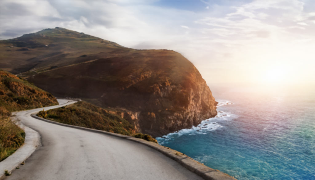


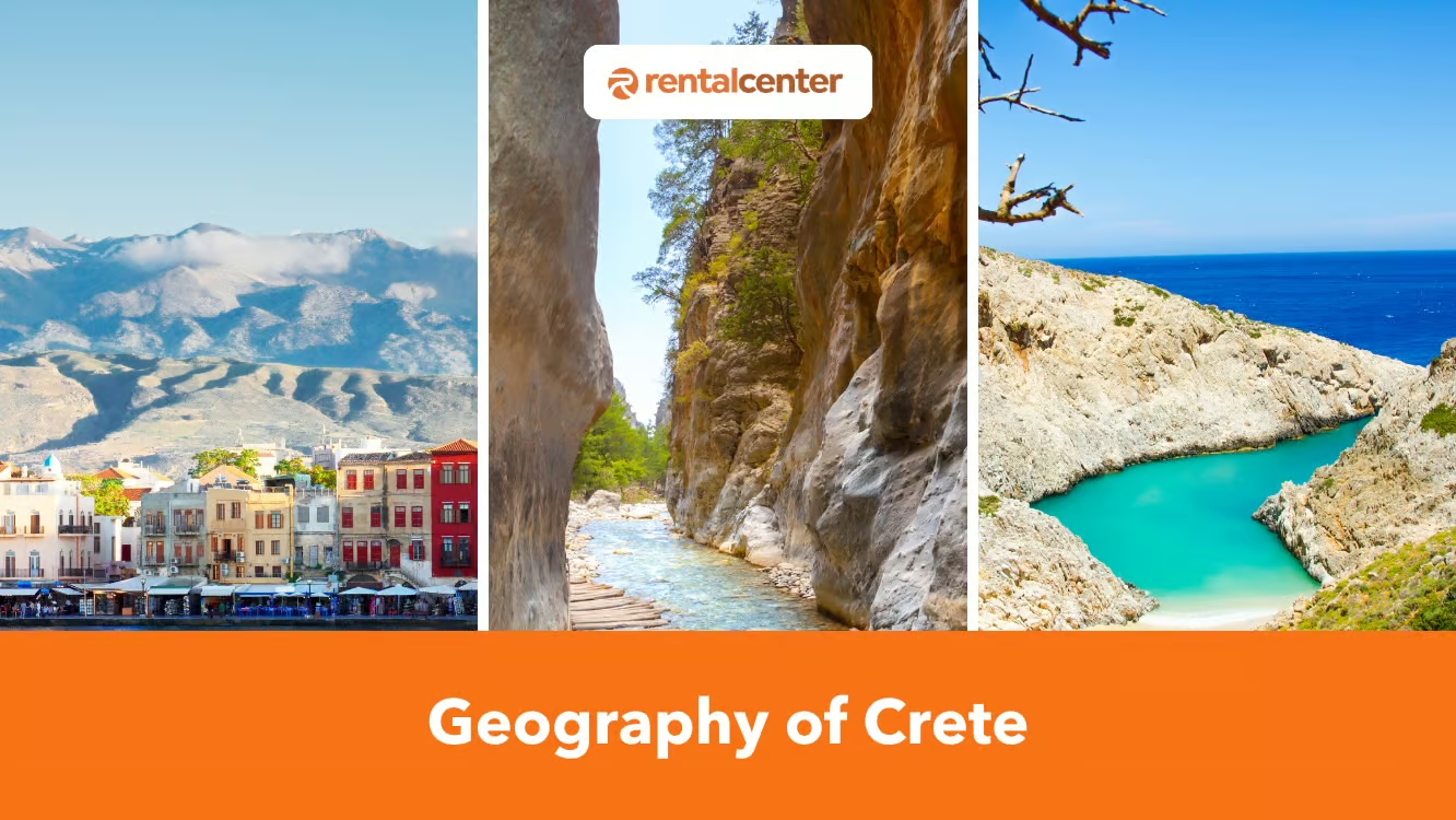
The northern coast concentrates natural harbors and fertile plains, hosting major cities such as Heraklion and Chania, while the steep southern coast drops to the Libyan Sea. This physical landscape has shaped Cretan culture, history, and economy since the Minoan era, and it explains why Crete supports beaches, forests, and agriculture unusual for an island of its size.
Key Geographic Facts of Crete
| Geographic factor | Data |
|---|---|
| Area | 8,336 km² (3,219 sq mi) |
| Length (E-W) | 26 kilometers (161.56 miles) |
| Width | up to 6 kilometers (37.28 miles) widest; 12 kilometers (7.46 miles) narrowest |
| Coastline | 1046 kilometers (649.95 miles) |
| Highest point | Timios Stavros (Mount Ida / Psiloritis) – 2,456 m (8,058 ft) |
| Mediterranean rank | 5th largest (after Sicily, Sardinia, Cyprus, Corsica) |
| Coordinates | 35.2401° N, 24.8093° E |
| Administrative regions | 4 (Chania, Rethymno, Heraklion, Lasithi) |
| Population | ~635,000 |
| Mountain cover | 52% of land area |
How Is the Geographical Structure of Crete Organized?
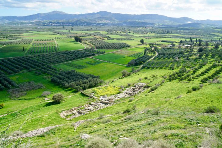
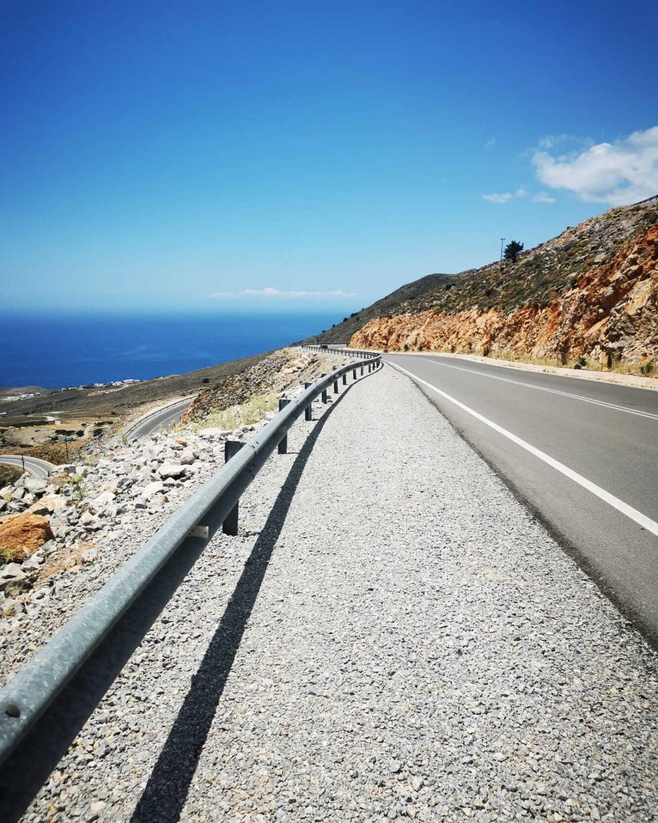
Crete organizes its terrain around mountains, fertile plateaus, gorges, and coastal plains. The island stretches 26 kilometers (161.56 miles) in length, with a width ranging from about 6 kilometers (37.28 miles) at its widest to 12 kilometers (7.46 miles) at its narrowest, covering a total area of 8,336 square kilometers (3,219 square miles). Its coastline spans 1046 kilometers (649.95 miles), with sandy beaches predominantly on the northern coast and cliffs characterizing much of the southern coast.
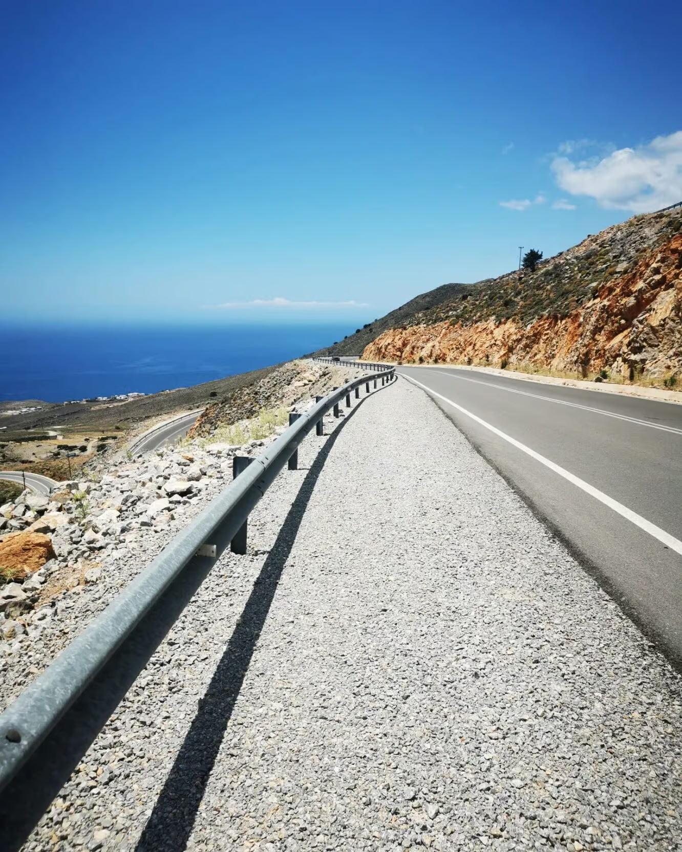
Crete sits at the tectonic crossroads of the African and Eurasian plates, a position that drives its seismic activity, uplifted its mountain ranges, and carved the gorges running through its limestone interior. According to Wikipedia, the island lies at the collision boundary where the African plate subducts beneath the Eurasian plate, and the same regional uplift that raised its peaks also shaped its deep canyons during the late Miocene (5-10 million years ago).
Notable Geographical Features of Crete
Crete concentrates several landscape types within its 8,336 square kilometers: mountain ranges, gorges, plateaus, plains, rivers, forests, and scattered satellite islands. The notable geographical features are listed below.
- Mountains. Mountains dominate 52% of Crete’s land, including three major ranges: the White Mountains (Lefka Ori), Psiloritis (Mount Ida), and the Dikti Mountains. Smaller massifs such as Kedros, Asterousia, and the Sitian Mountains (Thripti) add to the terrain. Timios Stavros, the highest peak, reaches 2,456 meters. These ranges are biodiversity hotspots, and Psiloritis is designated a UNESCO Global Geopark.
- Gorges. Crete counts over 400 gorges, the highest concentration in any Greek region, formed by tectonic uplift and karstic erosion. Samaria Gorge, Europe’s longest limestone gorge, is the best known. Others such as Aradena, Imbros, Kourtaliotis, and Ha Gorge offer distinct hiking routes.
- Plateaus. High-altitude plateaus such as Lasithi, Omalos, and Nida define Crete’s mountain interior. Lasithi, the most extensive at about 850 meters, supports fertile farmland; Omalos gives access to the Samaria Gorge.
- Plains. Plains account for 5% of Crete’s land and concentrate along the coasts. The Messara Plain, the largest, spans 5 kilometers (31.07 miles) and holds historical and agricultural importance. Other plains include Itanos, Sitia, and Hierapytna.
- Rivers. Crete’s rivers are mostly seasonal, and only a few flow year-round. The Geropotamos, the largest, held importance in the Minoan era. Others include Kyliaris, Aposelemis, and Megalopotamos.
- Forests. Forests cover roughly 9% of Crete and protect endemic species. Selakano Forest is noted for pine, Rouvas Forest for ancient oaks, and the Vai Palm Forest is Europe’s largest natural palm forest.
- Satellite islands. Gavdos, Dia, and Chrysi surround Crete and extend its ecological range. Gavdos is Europe’s southernmost island; Dia is a marine reserve; Chrysi holds a rare cedar forest.
Mountain Ranges of Crete
Three major mountain ranges run east to west across Crete: the White Mountains (Lefka Ori, highest peak Pachnes 2,453 m), Psiloritis (Mount Ida, highest peak Timios Stavros 2,456 m, a UNESCO Global Geopark), and the Dikti Mountains (highest peak Spathi 2,148 m). Mountains cover 52% of the island, and smaller massifs fill the gaps between the main ranges. The famous mountains of Crete are listed below.
- White Mountains (Lefka Ori): The White Mountains are known for their distinctive white limestone. They contain over 30 summits above 2,000 meters (6,561 feet) and around 50 gorges, including the Samaria Gorge. Their highest peak, Pachnes, reaches 2,453 meters (8,048 feet) and stays snow-covered until late spring.
- Psiloritis (Mount Ida): Psiloritis is the highest mountain in Crete, reaching 2,456 meters (8,058 feet) at its peak, Timios Stavros. It belongs to the UNESCO Global Geoparks Network and holds mythological importance as the legendary birthplace of Zeus.
- Dikti Mountains: The Dikti Mountains rise to Spathi at 2,148 meters (7,047 feet) and surround the fertile Lasithi Plateau at 850 meters (2,788 feet).
- Mount Kedros: Mount Kedros, at 1,777 meters (5,830 feet), is known for its water sources and biodiversity.
- Asterousia Mountains: The Asterousia Mountains reach 1,231 meters (4,039 feet) at Mount Kofinas and shelter the Messara Plain to the south.
- Sitian Mountains (Thripti): The low Sitian Mountains close off the eastern tip of Crete along the slopes of Thripti, on the isthmus of Ierapetra.
Highest Mountain Peaks of Crete
Psiloritis (Mount Ida) holds the island’s highest point at 2,456 meters (8,058 feet), Timios Stavros. The five highest peaks in Crete, ranked from highest, are listed below.
- Timios Stavros (Psiloritis): 2,456 meters (8,058 feet)
- Pachnes (White Mountains): 2,453 meters (8,048 feet)
- Agathias: 2,424 meters (7,953 feet)
- Trocharis: 2,401 meters (7,877 feet)
- Gavala: 2,365 meters (7,759 feet)
Gorges of Crete
Crete holds over 400 gorges, the highest concentration in any Greek region, formed over millions of years through tectonic uplift and karstic erosion. These formations deepened during the late Miocene period, 5-10 million years ago, when intense regional uplift accelerated limestone weathering. The gorges range from short ravines to the 16-kilometer Samaria Gorge.
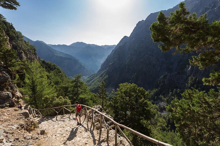
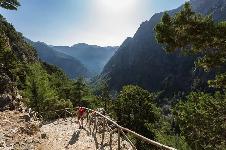
Samaria Gorge is Europe’s longest limestone gorge, stretching 16 kilometers (9.94 miles). Its walls tower 300 meters (984 feet) to 600 meters (1,968 feet) and narrow to just 4 meters (13 feet) at the well-known “Gates” section. Samaria was declared a National Park in 1962 and now shelters the endangered Cretan wild goat (kri-kri). Walking the gorge takes 5-7 hours.
The significant gorges of Crete are listed below.
- Samaria Gorge: 16 kilometers (9.94 miles) long
- Aradena Gorge: 15 kilometers (9.32 miles) long
- Imbros Gorge: 7 kilometers (4.35 miles) long
- Kourtaliotis Gorge: 3 kilometers (1.86 miles) long
- Ha Gorge: 1.5 kilometers (0.93 miles) long
Plateaus and Plains of Crete
Crete’s high-altitude plateaus and coastal plains sit at opposite ends of its terrain: the plateaus lie enclosed within the mountain ranges, and the plains hug the coasts. All three major mountain ranges hold a fertile plateau – Omalos in Lefka Ori, Nida in Psiloritis, and Lasithi in Dikti – while plains cover only 5% of the island.
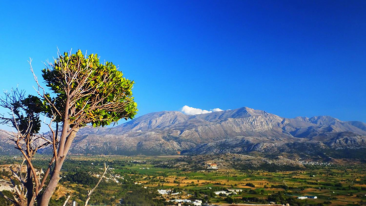
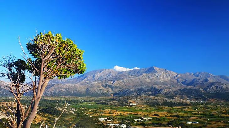
The Lasithi Plateau, located 7 kilometers (43.50 miles) east of Heraklion, is Crete’s most extensive mountain plain. It spans 11 kilometers (6.84 miles) from east to west and 6 kilometers (3.73 miles) from north to south, at an altitude of about 840-850 meters (2,755-2,789 feet). The Omalos Plateau spans 25 square kilometers (9.7 square miles) at an altitude of 1,080 meters (3,543 feet) to 1,250 meters (4,101 feet); surrounded by the White Mountains, it serves as the gateway to the Samaria Gorge.
The Messara Plain is the largest and most significant plain in Crete, in the southern prefecture of Heraklion. It stretches 5 kilometers (31.07 miles) with a width not exceeding 7 kilometers (4.35 miles). The wild Asterousia Mountains shelter it to the south, while sandy beaches bound its western side. Fertile plains like Messara supplied the agricultural surplus that sustained the Minoan palace economy at Phaistos and Knossos. The significant plains of Crete are listed below.
- Messara Plain
- Itanos Plain (Eastern Crete)
- Sitia Plain (Eastern region)
- Hierapytna Plain
- Lato Plain
- Chersonesos Plain (Northern coast)
Rivers and Coastal Seas of Crete
Crete’s rivers are mostly seasonal, with only around ten maintaining year-round flow; the surrounding seas divide the island between a gentler north and an exposed south. These waterways rise from mountain springs and vary sharply between winter and summer.
The Geropotamos is one of the largest rivers, with a drainage area of 553 square kilometers (213 square miles). It crosses the Messara Plain and discharges into the Libyan Sea near Tympaki, and it historically supplied water to the ancient Minoan settlement of Phaistos. Other rivers include the Kyliaris, the Aposelemis, and the Megalopotamos.
The Cretan Sea, the southern part of the Aegean, borders Crete to the north and separates it from the Cyclades, while the Libyan Sea borders it to the south and separates it from Africa (as described by Discover Crete). The northern coast, sheltered by the Cretan Sea, sees calmer conditions; the southern coast, exposed to the Libyan Sea, faces stronger waves and warmer, drier air.
Beaches of Crete
Crete’s beaches line a 1,046-kilometer (650-mile) coastline shaped by Mediterranean tectonic activity and erosion. The northern coast presents gradual slopes, harbors, and plains, while the southern coast features cliffs and rugged formations. Lowlands suitable for beach formation make up just 3.6% of the island’s surface, underlining its mountainous character.
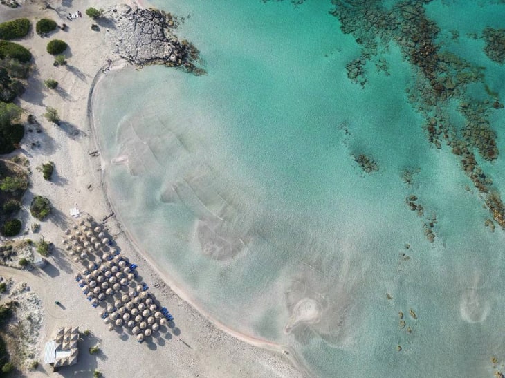
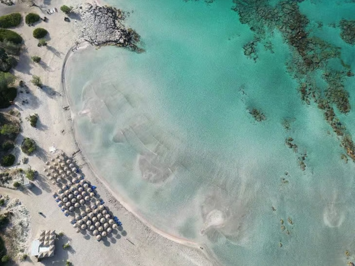
The geology of Crete’s beaches ranges from fine golden sand to pink shores made of crushed shells and limestone cliffs, most prominent along the south. Northern beaches stay calmer under the shelter of the Cretan Sea, while southern beaches face the more dynamic Libyan Sea. Notable beaches include Elafonissi, Vai, Preveli, Matala, Balos, and Plakias.
Climate Zones of Crete
Crete has a Mediterranean climate that shifts across three zones – from a frost-free coastal belt, through temperate uplands, to alpine peaks that hold snow for much of the year. The island experiences mild winters with temperatures around 15 °C (59 °F) and hot summers reaching up to 32 °C (89.6 °F). Rainfall increases from east to west and from coast to interior, with the White Mountains receiving up to 2 meters of annual rainfall.
The northern coast, moderated by the Cretan Sea, contrasts with the warmer, drier southern coast on the Libyan Sea. In the mountains, snow lingers from November to May and can remain on the highest peaks of Psiloritis and Lefka Ori through much of the year. During summer, the Meltemi – strong, dry northerly winds – blow across the Aegean and lower coastal temperatures, a pattern noted for Crete by the IISA 2024 / EasyConferences overview.
Monthly climate normals for Heraklion illustrate the coastal zone. Per the Hellenic National Meteorological Service (HNMS) 1955-2010 series (via Wikipedia), the annual mean daily temperature is 18.9 °C and annual rainfall totals about 481 mm.
| Heraklion (HNMS 1955-2010) | Jan | Apr | Jul | Oct | Year |
|---|---|---|---|---|---|
| Mean daily high °C | 15.3 | 20.1 | 28.9 | 23.6 | 22.0 |
| Mean daily low °C | 9.1 | 12.0 | 21.9 | 16.7 | 14.9 |
| Rainfall mm | 91.0 | 28.2 | 0.8 | 59.4 | 480.9 |
Source: Hellenic National Meteorological Service (HNMS), 1955-2010 normals, via Wikipedia.
Flora, Fauna, and Ecology of Crete
Crete’s geographic isolation has produced a concentrated set of endemic species: the island hosts about 1,600 plant species, roughly 10% of which grow nowhere else. Vegetation shifts by elevation, from low scrubland to high-elevation woodland, and several species anchor the island’s ecological identity.
- Cretan wild goat (kri-kri). The kri-kri is Crete’s most iconic endemic mammal. The Samaria Gorge was declared a National Park in 1962 in part to protect it, and the gorge remains a key refuge for the species.
- Cretan date palm (Phoenix theophrasti). The palm of the Vai Forest – Europe’s largest natural palm forest, covering 200 acres in eastern Crete – is Phoenix theophrasti, a species named in the geographic literature on Crete (Wikipedia).
- Phrygana. Aromatic low scrubland, or phrygana, dominates Crete’s lower elevations and gives way to cypress and pine woodland higher up. Herbs such as oregano, sage, and thyme grow wild across these hillsides.
- Endemic plant richness. Roughly 10% of Crete’s 1,600 plant species are endemic, a proportion that ranks the island among the richest botanical areas of the Mediterranean.
Forests of Crete
Crete’s forests, once dense, have diminished over centuries through logging, overgrazing, and fires, and today cover approximately 9% of the island’s land area (per Blue Green Atlas, 2010 estimate). They belong to the Mediterranean forests, woodlands, and scrub biome and stretch from sea level to high elevation. About 35% of forested areas fall under conservation protection, and the forests support 1,600 plant species, of which roughly 10% are endemic. Forest type varies by elevation, from low phrygana scrubland to high-elevation cypress and pine woodland. The main forests of Crete are listed below.
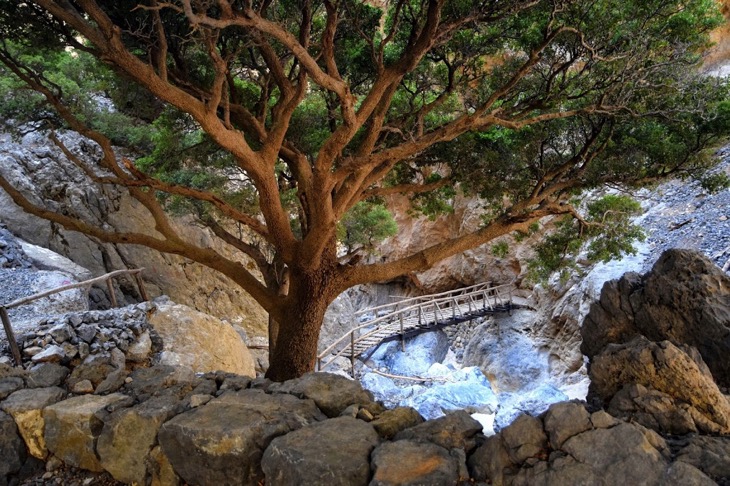
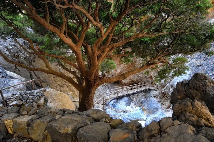
- Selakano Forest: Located 35 kilometers (21.75 miles) northwest of Ierapetra, it is one of Crete’s largest pine forests, protected under Natura 2000.
- Rouvas Forest: Spanning about 30,000 acres, it holds oak trees up to 15 meters (49 feet) tall with trunks over 1 meter (3.28 feet) in diameter.
- Vai Palm Forest: Covering 200 acres, it is Europe’s largest natural palm forest, home to the Cretan date palm.
Satellite Islands of Crete
The islands surrounding Crete, scattered across the Cretan and Libyan Seas, extend its geography with distinct landscapes and ecosystems. Together with the main island, they form the largest Greek island and the fifth-largest in the Mediterranean, after Sicily, Sardinia, Cyprus, and Corsica.
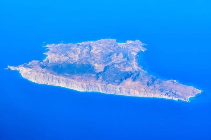
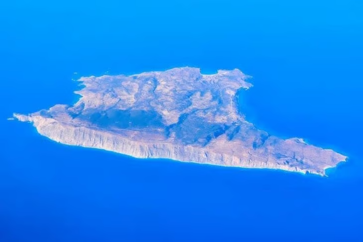
Gavdos, Europe’s southernmost island, lies 48 kilometers (29.83 miles) south of Crete and covers 32.4 square kilometers (12.5 square miles). Its highest point, Mount Vardia, rises to 345 meters (1,132 feet), and it is known for pristine beaches and strategic Mediterranean significance.
Dia, six nautical miles north of Heraklion, spans 12 square kilometers (4.6 square miles). This uninhabited Natura 2000 protected area holds five quiet bays and rich marine biodiversity.
Chrysi (Gaidouronisi) lies 15 kilometers (9.32 miles) south of Ierapetra. It measures 5 kilometers (3.11 miles) in length and 1 to 1.5 kilometers (0.93 miles) (0.6-0.9 miles) in width, and it holds Europe’s largest natural Lebanon cedar forest alongside golden beaches and turquoise waters.
Soil Types of Crete
Crete’s soils reveal varied stages of development, formed from parent materials such as limestone, shale, marl, conglomerates, flysch, and alluvial deposits – a level of soil detail rarely documented for the island. Limestone is the dominant parent material, covering 48% of the total area, followed by marble at 19.1%. Soil texture is moderately satisfactory across 78% of the area, with medium-textured soils covering 13.6% and fine-textured soils 6.9%.
Soil depth varies widely. Very shallow soils (0-15 cm) and shallow soils (15-30 cm) cover 16.4% and 34.6% of the area respectively. Moderately shallow (30-60 cm) and moderately deep (60-100 cm) soils cover 14.1% and 25.8%. Deep and very deep soils, the most productive, cover only 8.4% of the island. The main soil types of Crete are listed below.
- Cambisols (43% of total area)
- Leptosols (50.9%, mainly in mountainous regions)
- Fluvisols (in river floodplains)
- Luvisols (in river floodplains)
- Gleysols (in bottomlands)
- Regosols (in hilly areas)
- Vertisols (in lowlands)
Topography of Crete
Crete organizes its topography around three mountain ranges running east to west, with peaks above 2,000 meters (6,561 feet) and roughly 39% of the island rising above 400 meters. The island is 26 kilometers (161.56 miles) long and varies in width from about 6 kilometers (37.28 miles) at its widest to 12 kilometers (7.46 miles) in Lasithi. Elevation shapes the land: mountainous areas above 400 meters and semi-mountainous zones of 200-400 meters together account for close to half of the island’s surface, leaving limited flat land for settlement and agriculture.
Caves of Crete
Crete’s caves record its geology, mythology, and history, from Neolithic habitation to sanctuaries of the Minoan and later eras. Stalactite formations, archaeological finds, and mythological links – including the reputed birthplace of Zeus – give them cultural and natural significance. Selected notable caves are listed below.
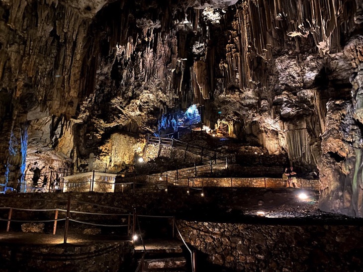
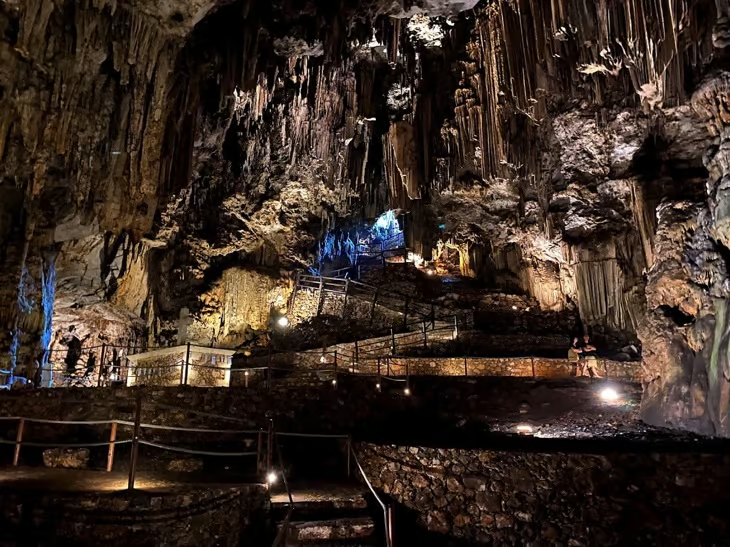
- Dhiktean Cave. Near Psychro village in Lasithi, the Dhiktean Cave is regarded as the birthplace of Zeus and was a site of worship from the Minoan to Roman eras.
- Idaean Cave (Cave of Idi). On the eastern slopes of Psiloritis near the Nida Plateau, the Idaean Cave is regarded as the place where Zeus was raised by Rhea, reached by a 580-meter marked path.
- Melidoni Cave. On the southern slope of Kouloukonas Mountain in Mylopotamos, Melidoni served as a refuge during the Cretan Revolution of 1824, where many perished when the entrance was set on fire.
- Sfentoni Cave. In Zoniana, Mylopotamos, within the UNESCO-protected Natural Park of Psiloritis, Sfentoni is known for its stalactite and stalagmite formations and habitation since Neolithic times.
- Cave of Kamares. On the southern slopes of Mount Psiloritis above Kamares village, this cave is famous for its Minoan “Kamares ware” pottery and its role as a place of worship.
- Cave of Eileithyia. Near Amnissos in Heraklion, this cave was dedicated to Eileithyia, goddess of childbirth, and is referenced in the Homeric texts.
How Crete’s Geography Shaped Its Civilization
Crete’s geographic position – isolated from mainland Europe, Africa, and Asia, yet set on Mediterranean trade routes – created the conditions for the Minoan civilization, an early advanced civilization of Europe. As Britannica, Greeka, and Blue Green Atlas note, this seclusion allowed a distinct culture to develop while remaining open to maritime exchange.
The fertile Messara Plain in southern Heraklion supplied the agricultural surplus that sustained the palace economy centered at Knossos and Phaistos, and the Geropotamos river fed the settlement of Phaistos. The mountainous interior offered natural defense, while deep natural harbors on the northern coast enabled trade with Egypt, the Levant, and the wider Aegean. That same isolation still explains the distinctive character of Crete’s endemic species, dialects, and traditions today.
How Crete’s Geography Shapes Its Climate and Population
Crete’s geography directs both its climate and where its people live. The Mediterranean climate – hot dry summers, mild wet winters, and mountain snowpack – controls vegetation zones, river regimes, and farming across the island. Rainfall rises from east to west, and elevation sets the difference between the frost-free coast and the snow-covered peaks.
Crete concentrates its population of approximately 635,000 along the northern coast’s fertile plains and harbors, where major cities such as Heraklion (144,422 people) and Chania (88,525 people) grew. The mountainous terrain, covering about 39% of the island above 400 meters, limits settlement in the interior. Population density averages 74.54 people per square kilometer, with sharp differences between urban and rural areas. The varied terrain also creates microclimates that shape agriculture and cuisine: mountains support herbs and livestock, coasts enable fishing, and the fertile valleys of Messara sustain olive groves and vineyards.
The Four Administrative Regions of Crete
Crete administers its territory through four regional units – Chania, Rethymno, Heraklion, and Lasithi – each corresponding to a distinct geographic zone from the mountainous west to the drier east. The regions of Crete are described below.
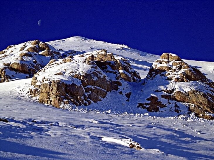
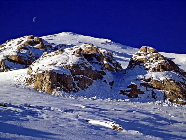
- Chania. Chania occupies Crete’s westernmost area, defined by the White Mountains and beaches such as Balos. The city of Chania, the regional capital, features Venetian and medieval architecture.
- Rethymno. Rethymno, the smallest region, combines mountain landscapes, beaches, and historic monuments. Rethymno city holds a distinct cultural heritage.
- Heraklion. Heraklion, the largest region on the north coast, houses the island’s capital and archaeological landmarks such as the Minoan palace of Knossos.
- Lasithi. Lasithi, in the easternmost part, has Agios Nikolaos as its capital and includes landmarks such as Spinalonga Island and the Lasithi Plateau with its windmills.
Frequently Asked Questions About Crete’s Geography
What country is Crete in?
Crete is part of Greece. It became part of the Greek state in December 1913 and is now one of Greece’s 13 administrative regions – the largest and most populous Greek island.
How many square kilometers is Crete?
Crete covers 8,336 square kilometers (3,219 square miles) with a coastline of 1046 kilometers (649.95 miles). It stretches 26 kilometers (161.56 miles) from west to east and is comparatively narrow from north to south.
What are the coordinates of Crete?
Crete lies at 35.2401° N, 24.8093° E in the eastern Mediterranean Sea, about 571 kilometers (354.80 miles) south of the Peloponnese and 479 kilometers (297.64 miles) southwest of Anatolia.
What is the highest point in Crete?
The highest point is Timios Stavros on Mount Ida (Psiloritis), at 2,456 meters (8,058 feet). The White Mountains (Lefka Ori) follow, with Pachnes at 2,453 meters (8,048 feet) and over 30 summits above 2,000 meters.
What is Crete best known for geographically?
Crete is best known as the largest Greek island and the fifth-largest in the Mediterranean, defined by three high mountain ranges, over 400 gorges – including Europe’s longest limestone gorge, Samaria – and a Mediterranean climate that spans frost-free coast to alpine peaks.
Last reviewed: July 2026. Geographic data draws on the article’s original figures for Crete, cross-referenced against Wikipedia, Britannica, Blue Green Atlas, Discover Crete, and the Hellenic National Meteorological Service (HNMS) climate normals for Heraklion.